
THE GPS (Global Positioning System) is a technology that has become essential in our daily lives. Using signals transmitted by satellites, the GPS system allows us to accurately determine our position in the form of geographic coordinates.
These coordinates are represented by two key elements: the latitude and the longitude. In this article, we will explore the world of GPS coordinates and understand their essential role in geolocation.
What are GPS coordinates?
GPS coordinates are reference points that indicate a specific location on Earth. There latitude measures the distance north or south from the equator and varies between -90 degrees (at the South Pole) and +90 degrees (at the North Pole). There longitude, for its part, measures the distance east or west from the Greenwich meridian and varies between -180 and +180 degrees. It is the combination of these two measurements that makes it possible to determine a precise geographical point.
The usefulness of GPS coordinates
The accuracy offered by GPS coordinates has many practical applications in our everyday lives. They are used for navigation, allowing users to find the way to a destination or follow a route when traveling by car, bicycle or on foot via smartphones and integrated navigation systems. They are also crucial for search and rescue operations, making it possible to locate lost or distressed people accurately.
In science and research, GPS coordinates play an important role in studies such as tracking tectonic movements, tracking wild animals, and much more. Finally, they are an essential element for sectors like precision agriculture, geocaching, and delivery services.
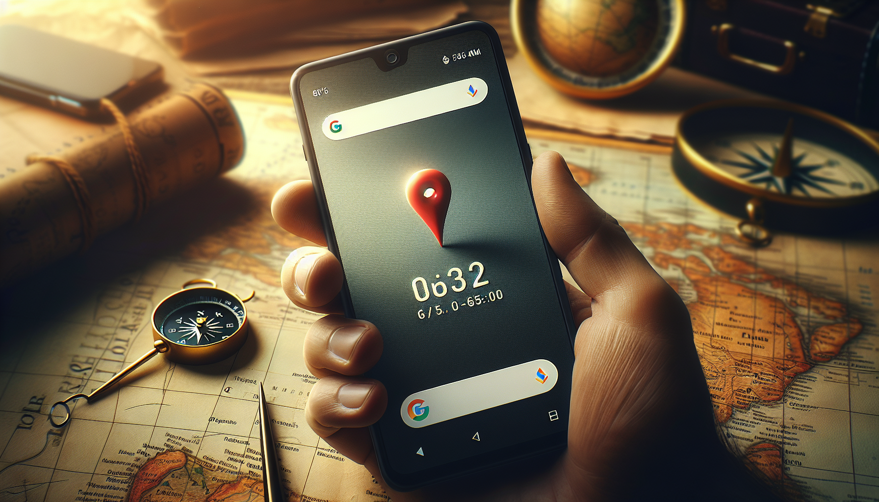
How to find GPS coordinates on Google Maps
To find your latitude and longitude on Google Maps, there are a few simple steps to follow:
- Open Google Maps in your web browser or on your mobile application.
- Right-click the point of interest on the map (or tap and hold on mobile).
- In the menu that appears, click “What are the coordinates?” or you will directly see the coordinates displayed in a small popup.
- Copy the GPS coordinates which are presented as two numbers (for example, 48.8566° N, 2.3522° E for the location of Paris).
Tip for increased accuracy
For even greater precision, after right-clicking on the desired location, you can refine the selection by moving the pointer slightly before choosing “More info about this location.” This can be useful when finding coordinates for a very specific location, such as the entrance to a building or a point of natural interest.
Read and understand GPS coordinates
GPS coordinates are usually in the form of two numbers representing latitude and longitude. Understanding how to read these numbers is essential to correctly interpreting coordinates.
- Latitude: it is the measurement in degrees which indicates the distance north or south from the equator, varying from -90° to +90°.
- Longitude: it is the measurement in degrees which indicates the distance east or west of the Greenwich meridian, varying from -180° to +180°.
On Google Maps, coordinates are usually displayed in decimal form. For example, the Eiffel Tower in Paris has approximate coordinates of Latitude: 48.8584 And Longitude: 2.2945.
Use GPS coordinates on Google Maps
Once you have the GPS coordinates of a place you want, you can easily locate it on Google Maps. Here’s how :
- Return to Google Maps.
- In the search bar, type the coordinates you obtained, then press Enter or click the search button.
- Google Maps will take you directly to the exact location corresponding to the coordinates entered.
This method is particularly useful for navigating to off-the-beaten-path locations, for which traditional addresses are not sufficient.
Sharing and Coordinates Pin
After finding or entering coordinates, Google Maps also provides the option to share this information or mark it with a pin for future reference. Here’s how to do it:
- Once you have the contact details, use the built-in share button to send the information via email, message, or on social media.
- To pin the location, click the pin icon next to the contact details to have it added to “Your Places” for easy access later.
Whether to share a meeting place, for an urbex, a treasure hunt or simply for work or for leisure activities, know how to find and read GPS coordinates on Google Maps is a practical skill. Just follow the steps mentioned above and you will be able to precisely locate any point on Earth.
Leave a Reply